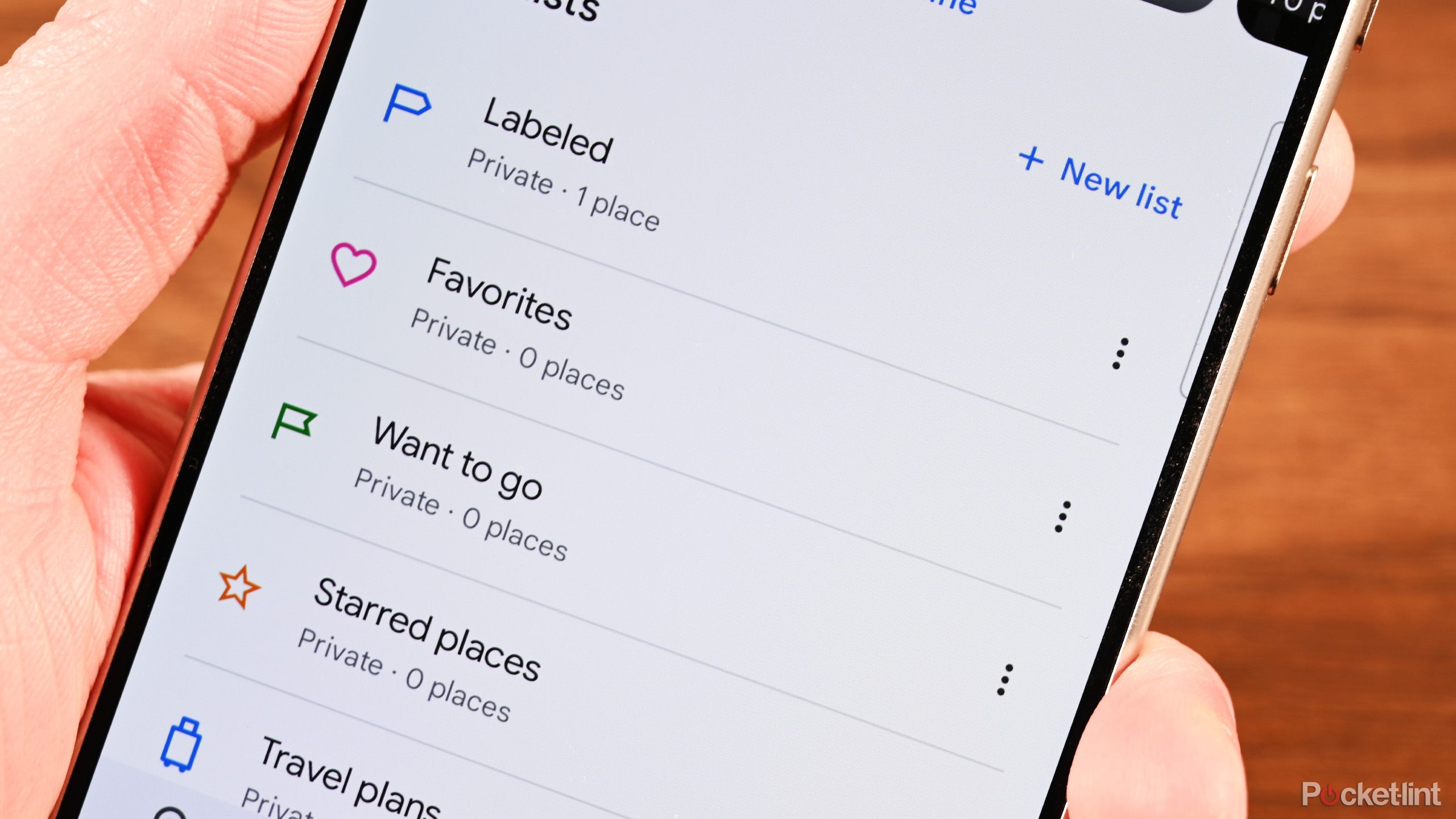
Key Takeaways
- I use Waze and find that it excels at driving navigation with real-time updates.
- I’ve been trying Google Maps, and it does offer a wider choice of navigation options.
- Honestly, both apps are useful. But here’s how they compare, head-to-head.
Big companies love to buy smaller companies. There are countless small companies that have created useful Apple apps, but they were then bought out by Apple and turned into iOS features. Siri was born out of a voice assistant app, and the Weather app on your iPhone is based on the excellent Dark Sky app that Apple bought and then killed off. Apple isn’t the only culprit, however. Google loves to buy other companies, big and small, as well.
Its major acquisitions include YouTube, Nest, and Fitbit. And, in 2007, Google bought the navigation software company Waze.
Unlike Apple, however, Google didn’t steal the best bits of Waze and then kill off the original app. Instead, we find ourselves in the curious position where both Waze and Google Maps exist as rival apps owned by the same company. So, which app should you use for your navigation? It’s a good question and one that isn’t always that easy to answer. I use Waze, but I downloaded Google Maps again and put both navigation apps head-to-head to find their pros and cons.
Related
5 reasons why I use Waze instead of Google Maps
Google has two free navigation apps: Waze and Google Maps. Here’s why, after all these years, I still use Waze over Google Maps.
Driving navigation
Both can get you from A to B
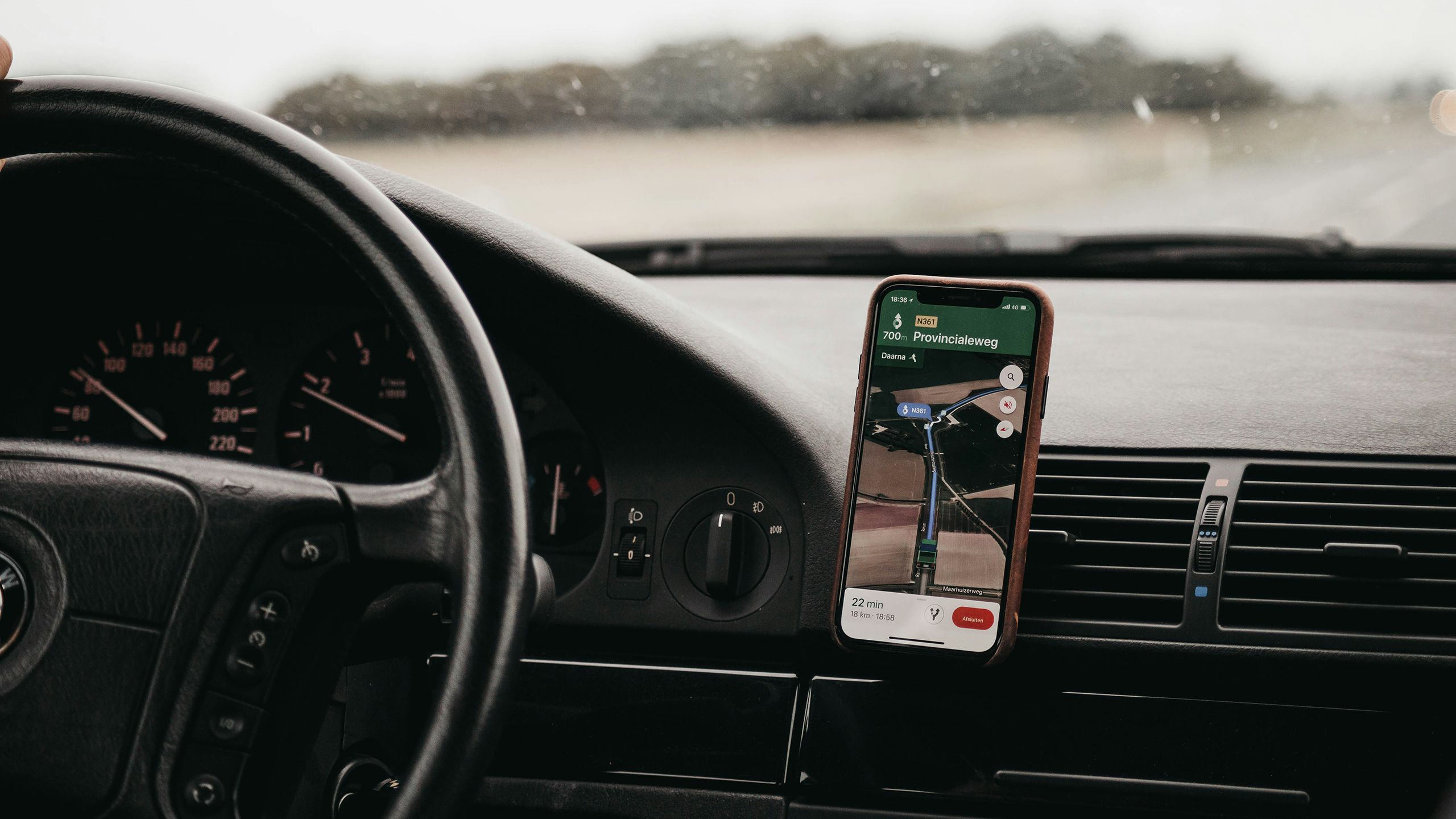
Waze is an app that’s dedicated to driving navigation. This is also one of the primary functions of Google Maps, although it does have other navigation options which we’ll look at in more detail later. How do the two apps compare when using them to help you navigate when driving?
Both apps allow you to select a destination and will then generate driving directions to that destination from your current location as determined by your phone. It’s also possible to set a different starting point than your current location. This is far simpler to do in Google Maps; it’s not immediately obvious how to change the starting point in Waze.
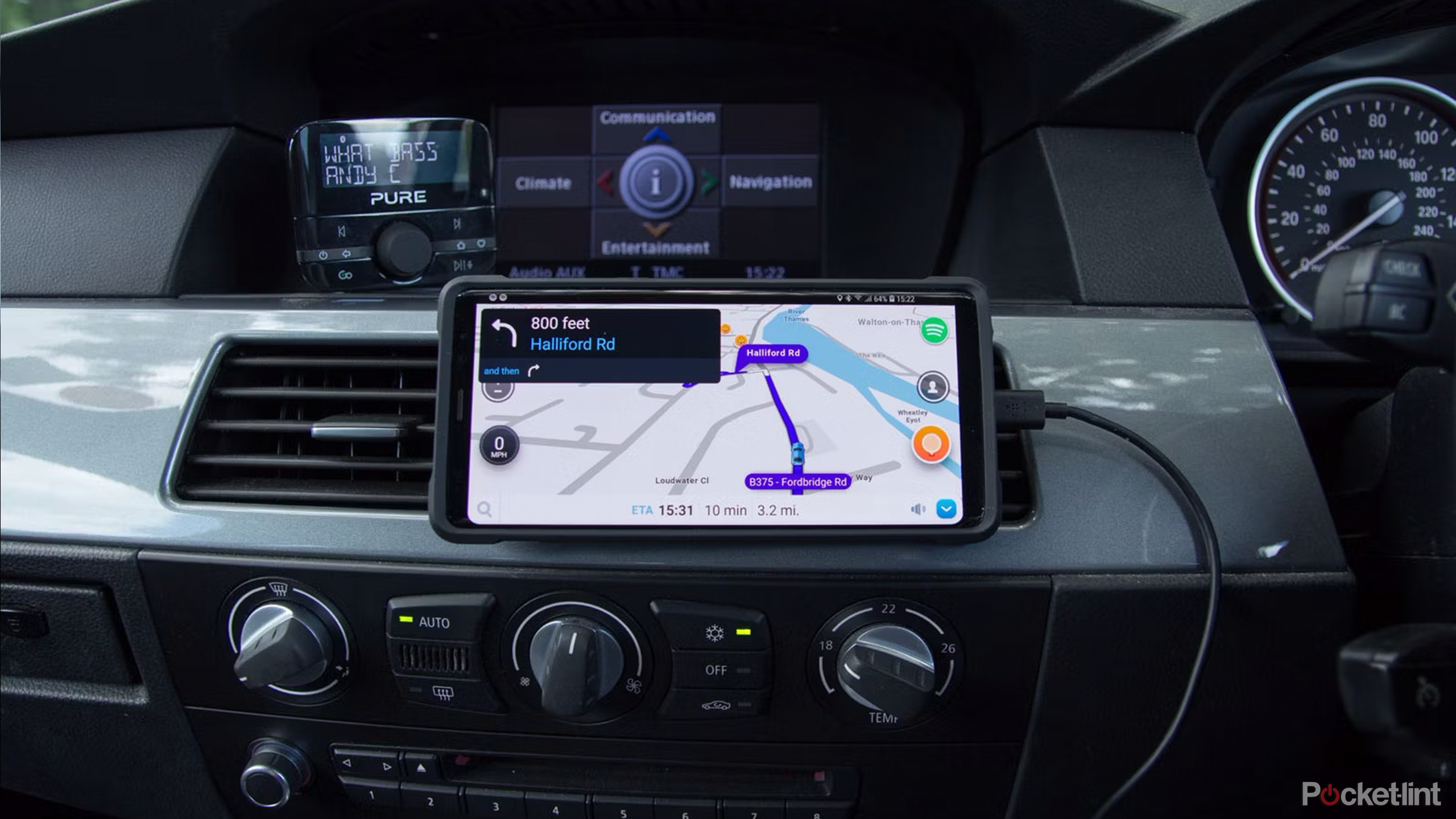
Once you’ve entered a destination, Waze will give you some alternative route options to choose from, with information about the distance and the estimated time of the journey. You can also see an outline of the routes on the main map screen.
Google Maps works in a similar fashion, but it will only give the information for what it considers to be the optimal route. You can see other routes on the map screen, along with their estimated journey times, but you’ll have to tap each route on the map to see information such as the total distance.
Once you’ve selected a route and started navigating, Google Maps is focused on getting you from A to B on the route that it considers the best option. Unless something major occurs on the route it’s chosen, you’ll stick to that route for the whole journey. Google Maps will offer better route options if it finds them, but this is less frequent than with Waze.
Waze uses a slightly different approach; it will happily change the route if it believes this will get you to your destination more quickly. If there’s an issue on your route reported by other Waze users, or traffic gets too heavy, Waze will offer to change your route and give you information about how much time you’ll save by changing to the new route.

Related
10 hidden Google Maps features, tips, and tricks to try
We’ve all used Google Maps to get from A to B, but did you know it has an AR view? We’ve rounded up secret Google Maps features you might not know.
Traffic and other information
Waze has more up-to-date info
brett-jordan / Unsplash
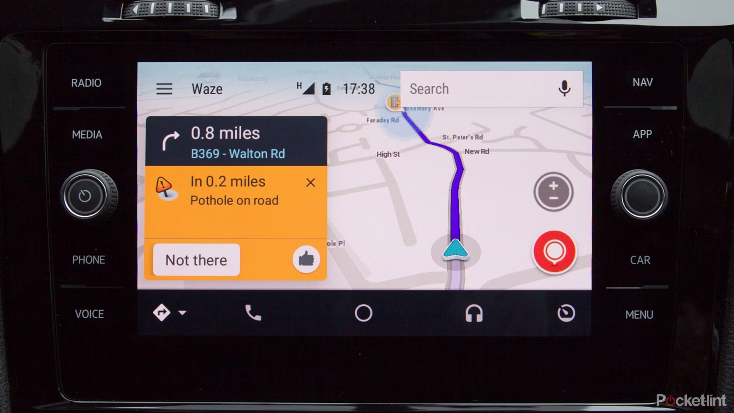
Both apps make use of data from other users to make informed decisions about the best routes to take. If other Google Maps or Waze users are driving on the same route as you (or at least part of it), then both apps will have data on how fast traffic is moving on that part of the route, which can help it to provide more accurate journey times.
What Waze does much better than Google Maps is provide additional information submitted by other Waze users. It’s possible for Waze users to report issues such as heavy traffic, but also hazards such as cars stopped at the side of the road, speed traps, road traffic accidents, and more. This information is then instantly made available to other Waze users who are driving the same route. I’ve always been impressed by the accuracy of these reports; Waze will often inform me of a car stopped by the side of the road, and it’s almost always there when I reach that point. If it isn’t, I have the option to mark the hazard as no longer there.
Google Maps has added the ability to report crashes, speed cameras, congestion as more, but this isn’t nearly as ingrained as in Waze. Many Google Maps users may be unaware that the features exist, meaning the data is spotty at best.
Related
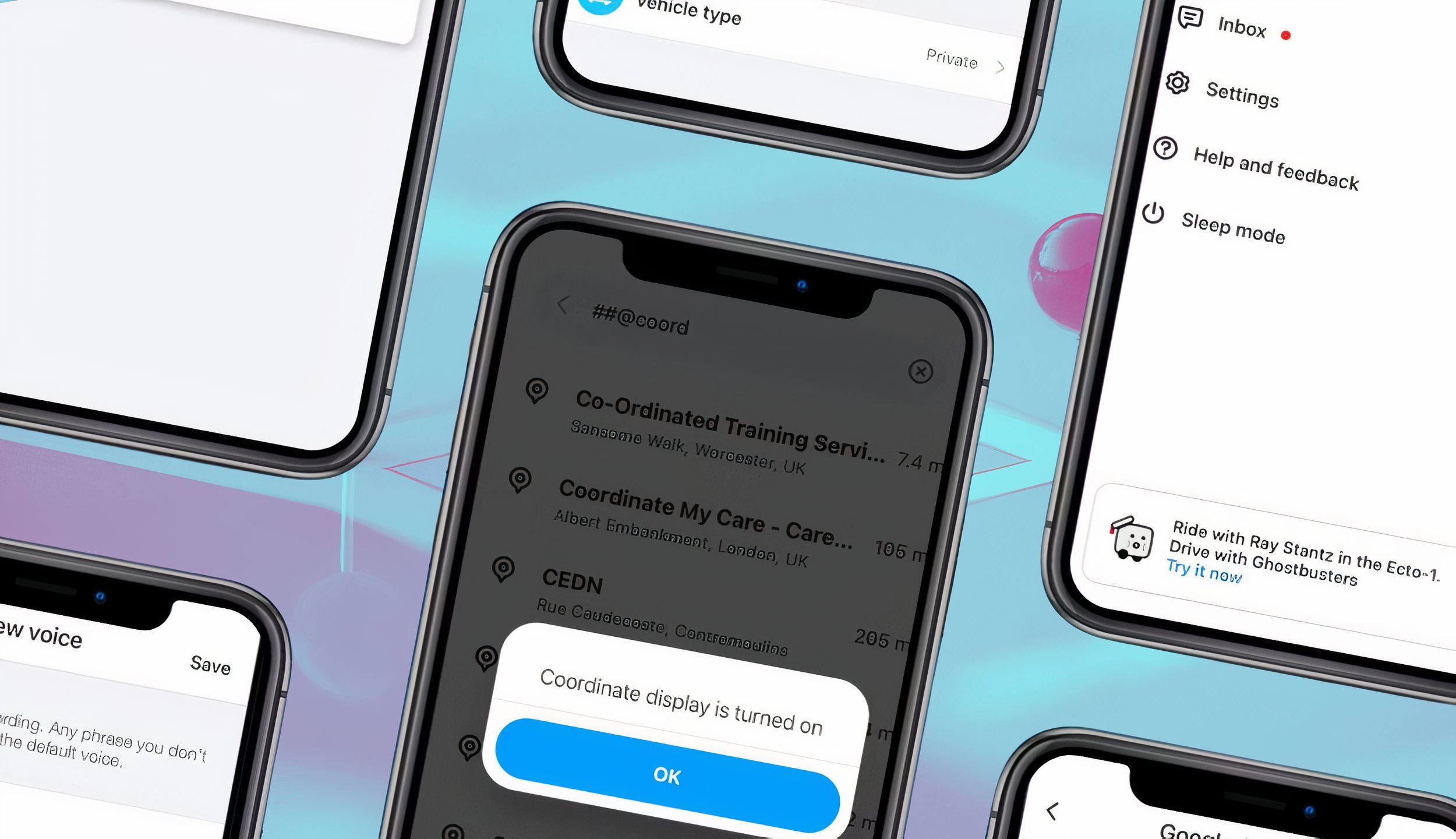
7 secret Waze tips and tricks you absolutely need to try
If you think you know Waze, think again. You’ll get even more from Google’s other navigation app using these hidden tips and tricks.
Accuracy
Waze can be glitchy
Isaac Mehegan on Unsplash
Until recently, if you asked me whether Google Maps or Waze was more accurate in terms of estimations for your journey times and estimated time of arrival, I would have said that they were both equally accurate if the journey is uneventful. The estimated journey times are usually fairly close for both apps for the same journey, and although the ETA can change during the course of your journey, both apps are good at updating the ETA accordingly.
However, recently I have found an occasional error in Waze. It recently estimated that driving to a local theme park that I know to be about 50 minutes away would take more than two hours. Google Maps estimated 48 minutes. I wondered if this was due to an issue en route such as an accident, but when I changed the destination to a road near to the theme park, Waze changed the ETA to 49 minutes. The drive did indeed take about 50 minutes. This may be a one-off glitch, but it’s concerning, as if I hadn’t known the duration of the drive already, I could have easily believed it would take more than two hours.
That being said, Waze’s ability to update the route based on the current conditions means that while both apps will get your there in a similar amount of time if there are no issues on your journey, Waze may be able to get you there quicker if there are issues such as accidents or heavy traffic that occur on your journey.
Related
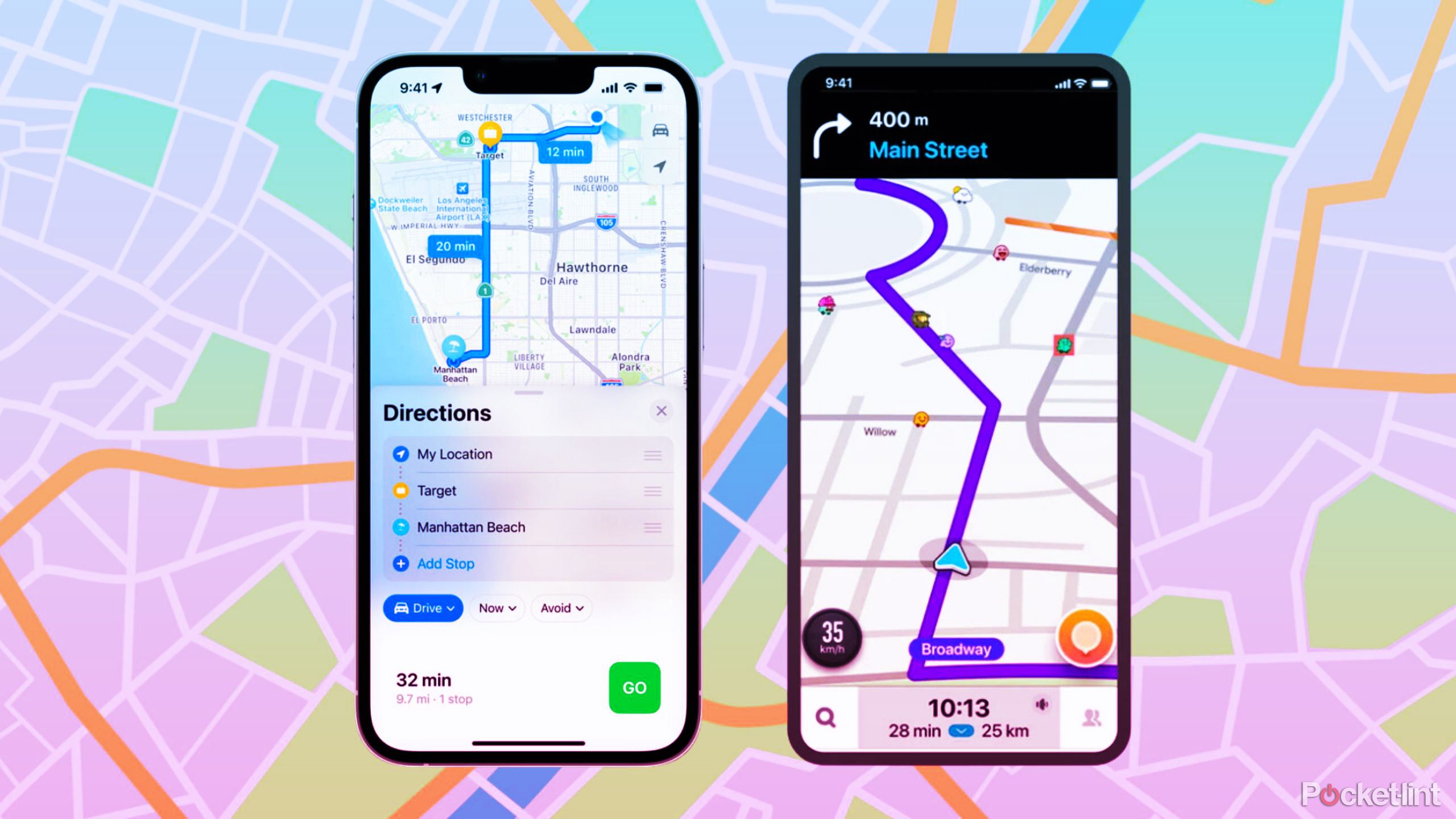
I tested Waze against Apple Maps to see which is actually better
If you own an iPhone, Apple Maps comes pre-installed, but is it better than other apps? I go head-to-head with Apple Maps vs Waze to see which wins.
Other navigation options
Google Maps has walking, cycling, etc., while Waze is limited
One major difference between Google Maps and Waze is that Waze is intended solely for driving navigation. If you want to walk somewhere, take public transport, or even cycle the same route that you would drive, Waze can’t help. You can use the driving directions if you’re cycling, but the estimated journey time will be wildly inaccurate, and the route may include roads that aren’t suitable for cycling.
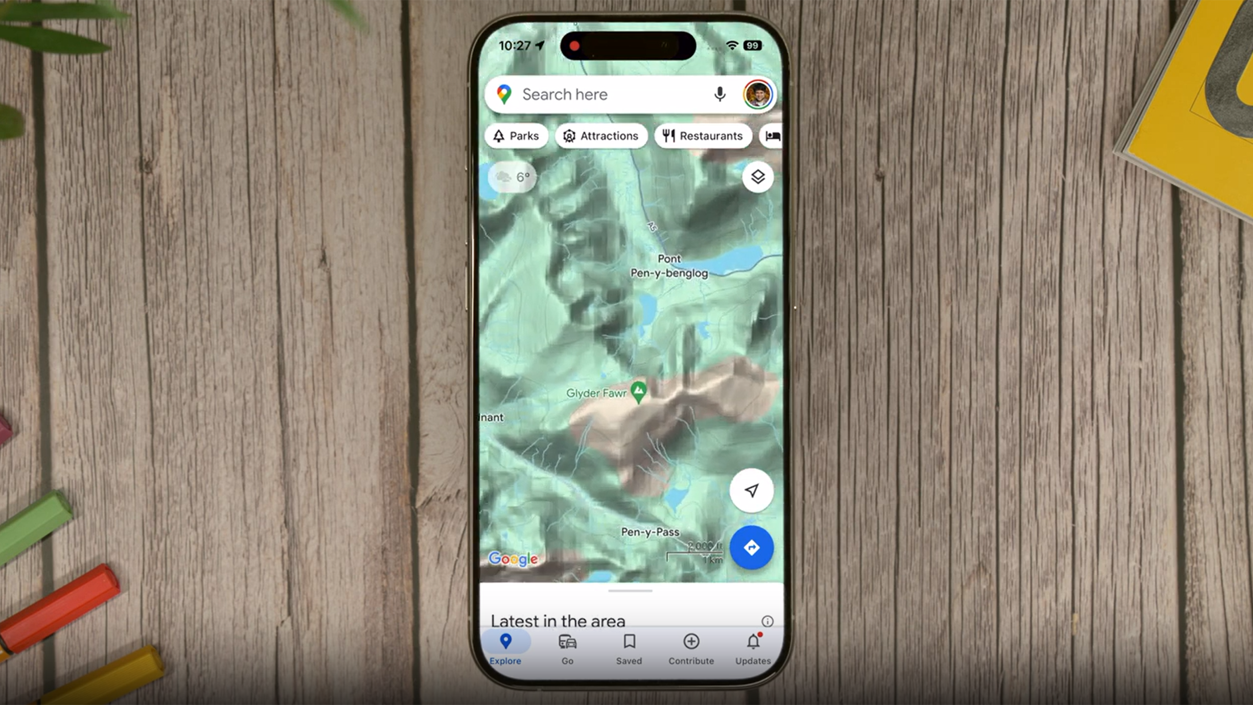
Google Maps, on the other hand, can offer multiple navigation options, including public transport directions, walking directions that include footpaths that aren’t navigable by car, and cycling routes. It can even provide flight information for longer journeys. If you want to navigate by anything other than a motor vehicle, then it’s a no brainer; Google Maps can help, and Waze can’t.
Related
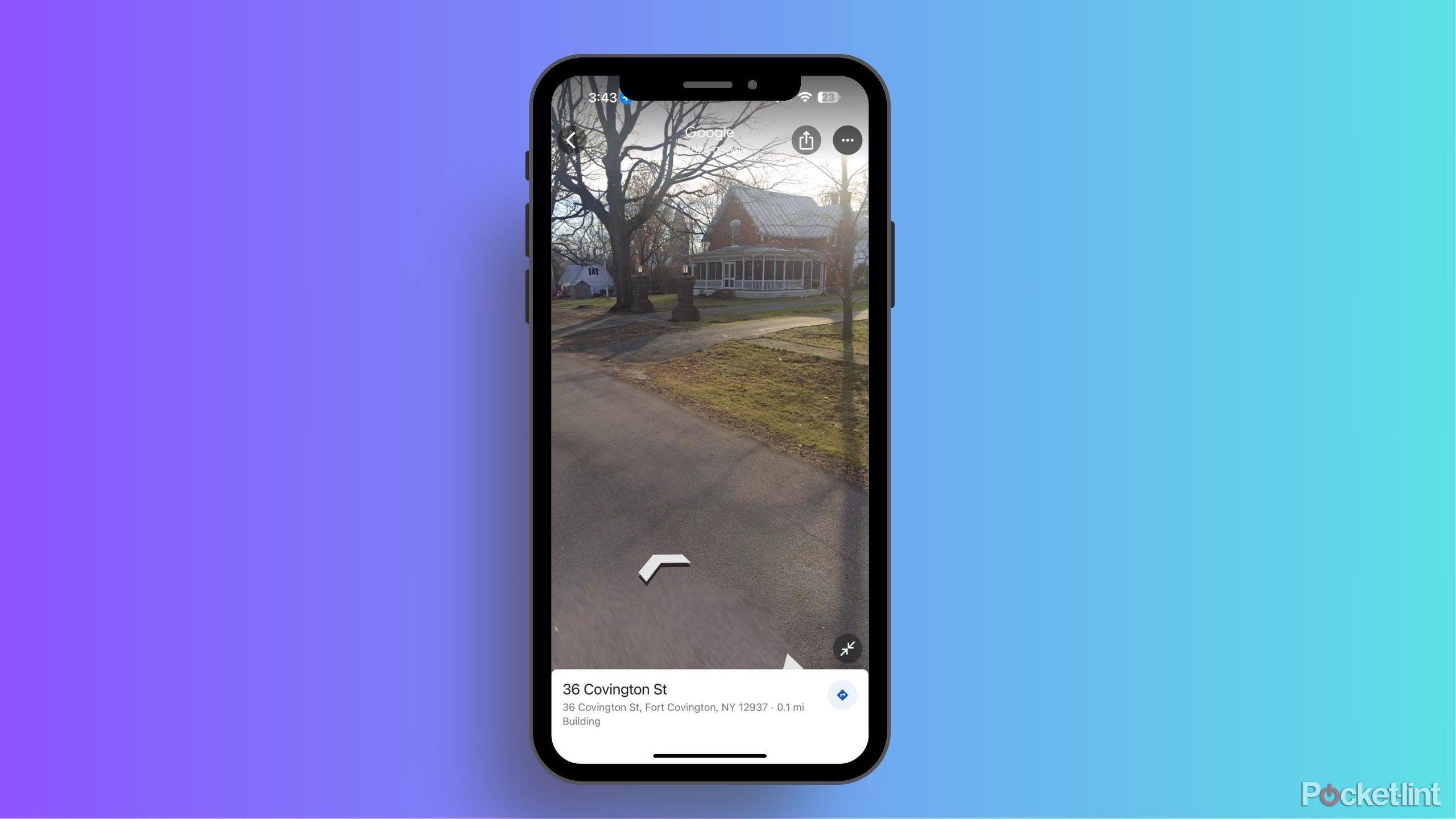
How often does Google Maps update Street View?
Can’t wait for your renovated house to show up on Google Street View? Here’s what you need to know about how the feature gets updated.
Local discovery
You can plan more stops with Google Maps
When you’re driving from A to B, you may need to make some stops. You might need to fill up with gas, for example, or stop to get something to eat. Both apps allow you to search for amenities on or close to your route so that you can plan these stops.
In Google Maps, you can search for gas stations, restaurants, coffee shops, rest stops, supermarkets, hotels, and more. The app will then display these results on the map so you can see how far out of your way you’ll need to go. You can select one of the results and add it as a stop to your navigation directions. Google Maps allows you to add multiple stops to your routes.
Waze offers similar options. You can search for fuel, food, parking, groceries, coffee, hotels, pharmacies EV charging stations, and more. However, unlike in Google Maps, you can only add one stop to a route. If you want to visit a gas station and a restaurant, for example, you’ll have to create a new journey navigating to your first two stops, and then create another one to get you to your final destination.
One major benefit of Waze if you’re looking for somewhere to fuel up is that searching for gas stations will bring up results on the map that include the current prices at those gas stations, allowing you to find the cheapest option. Some of this information is provided by the fuel retailers, and some is submitted by other Waze users. You don’t see this information Google Maps.
Related
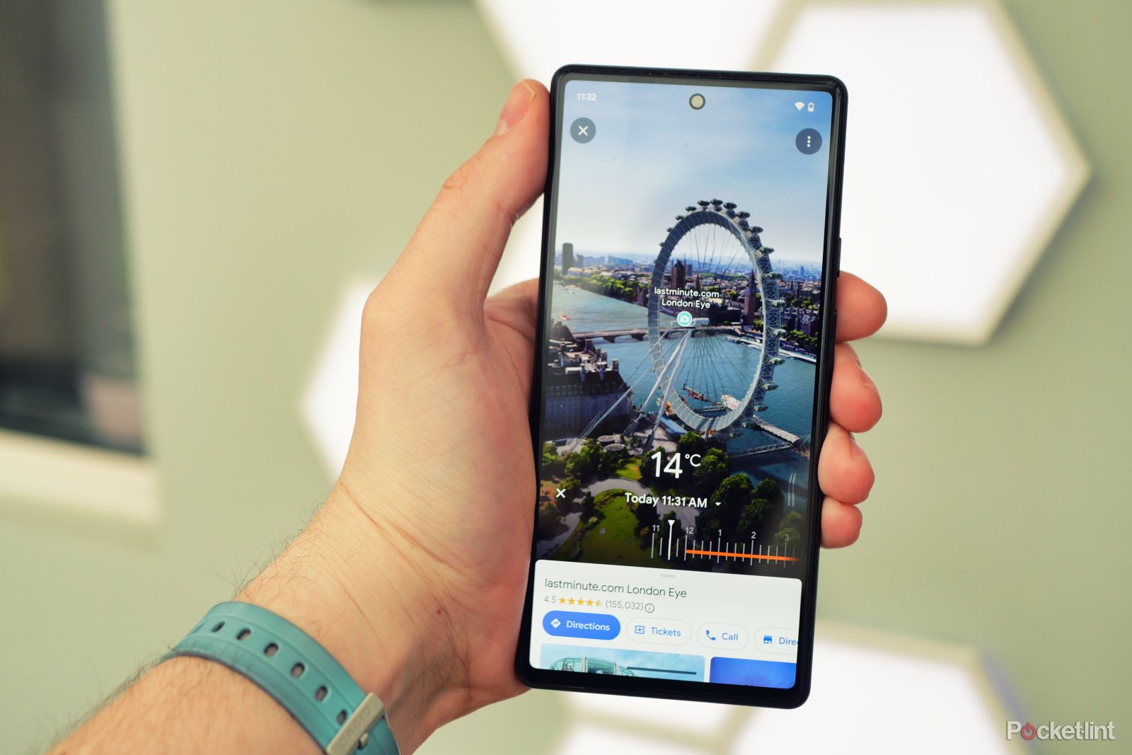
What is Google Maps Immersive View and how can you use it?
Learn how to explore a new place from the comfort of your home with Google Maps Immersive View.
Additional features
Waze offers more personalization
Pocket-lint
Waze is built around a social aspect, with other users providing information that benefits anyone who’s using the app, such as traffic or hazard information. You can see other Waze users on your route shown as small car icons on your map, and Waze allows you to customize how your car displays to other Waze users.
You can also make other customizations, too. One of the most popular is the ability to select different voices for the voice navigation. Celebrity voices are often available as part of promotions for movies or products, and there are usually some festive voice options available in the holiday season, such as the Spicy Gingerbread Man or Santa. It’s even possible to record your own voice and hear yourself telling yourself where to go.
Waze has also recently added some new features, including roundabout navigation and speed limit alerts.
Google Maps is far less customizable. You can change the voice language, but there’s no option to choose amusing voices to keep you entertained as you drive.
Google Maps has some unique features of its own, however. You can download maps for use offline, meaning you can keep navigating even when you don’t have an internet connection. Waze relies on having an internet connection to work. Indeed, if you’re starting your journey somewhere remote, you may not be able to see any directions until you’ve reached somewhere where your phone can get a network connection. Google Maps also allows you to see a street view of your destination which is useful if you’re going somewhere you’ve not been before.
Both apps allows you to connect music services such as Apple Music, allowing you to control your music directly from the app screen when you’re driving.
1:01
Related
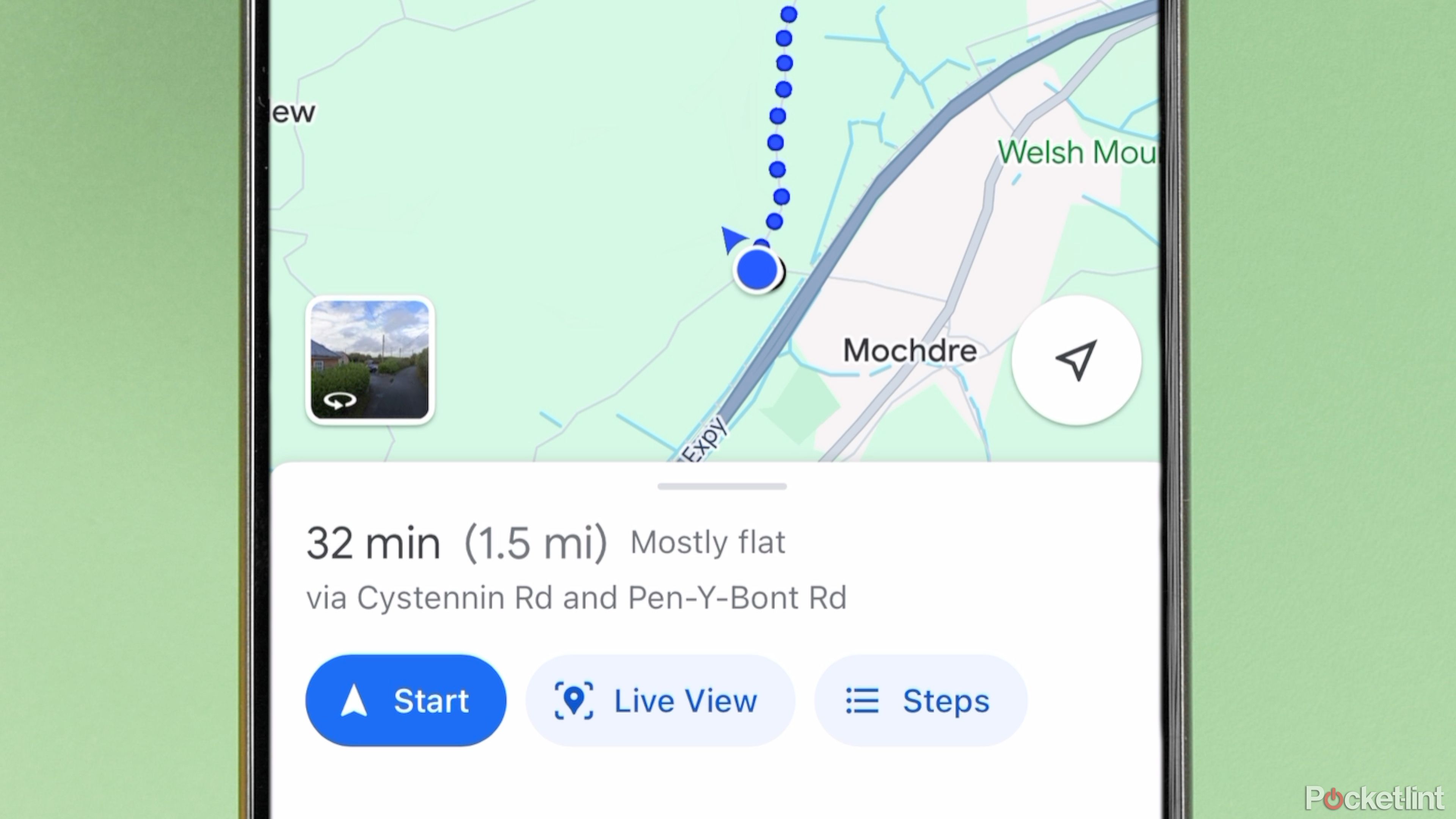
What is Google Maps AR navigation and Live View and how do you use it?
Get a better view of where you’re going.
Design
Google Maps is clean and Waze has fun cartoons
The two apps look quite different. Google Maps has a more professional look with clean design that matches the other Google apps. In comparison, Waze looks a little more fun, with the cartoon icons that represent other Waze users appearing on the roads on the map.
Google Maps also unsurprisingly makes use of the impressive amount of imagery that it has captured, allowing you to see a realistic satellite view of your route rather than simple graphics like you get with Waze.
Related
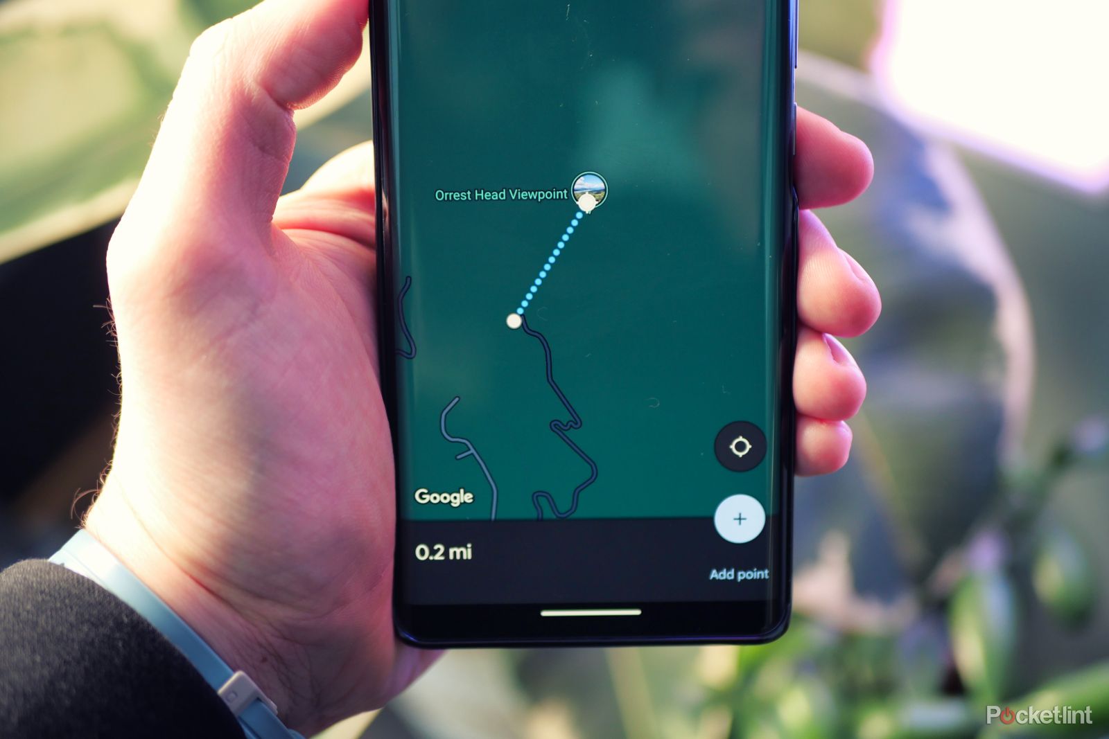
How to measure a distance with Google Maps
Measure the distance between two or more points using Google Maps on any device.
Google Maps vs Waze: Which should you use?
It depends on what you need, but both are free
There’s no simple answer to this question. That’s because there are horses for courses, and each navigation app has its strengths and weaknesses.
|
Google Maps |
Waze |
|
Directions for driving, walking, cycling, and more |
Driving directions only |
|
Some rerouting options |
Constant rerouting for fastest journey |
|
Can report incidents |
Strong focus on incident reporting |
|
Accurate journey times |
Occasional journey time errors |
|
Local discovery with multiple stops |
Local discovery with single stop only |
|
Lacks customization options |
Customizable icons and voices |
|
Offline maps |
Online only |
|
Control music direct from the app |
Control music direct from the app |
If you want to navigate somewhere on foot, by public transport, on a bike, or even by plane, then the decision is an easy one. Google Maps can offer directions for all of these circumstances. In comparison, Waze is only any use if you’re driving from A to B.
If you are driving, however, then the decision becomes a lot tougher. If your goal is to get where you want to go as quickly as possible, the Waze has the edge. It’s more proactive in rerouting you if there are issues with the original route that you’ve selected. Google Maps will update your route, but it’s not nearly as frequent. If there are problems on your journey, Waze is likely to get you to your destination before Google Maps does.
Waze can also provide more details and up-to-the-minute information about hazards such as vehicles parked at the side of the road or traffic accidents. It means that your journey might be a little safer using Waze, too.
Personally, I’ve used Waze for years. However, recently I’ve started using Google Maps a little more, not least because of the strange errors in the journey time that have occurred a couple of times. The beauty is that both apps are free to use, so there’s no reason why you can’t keep both on your phone and use whichever one is most suitable at the time.
Trending Products

Cooler Master MasterBox Q300L Micro-ATX Tower with Magnetic Design Dust Filter, Transparent Acrylic Side Panel, Adjustable I/O & Fully Ventilated Airflow, Black (MCB-Q300L-KANN-S00)

ASUS TUF Gaming GT301 ZAKU II Edition ATX mid-Tower Compact case with Tempered Glass Side Panel, Honeycomb Front Panel…

ASUS TUF Gaming GT501 Mid-Tower Computer Case for up to EATX Motherboards with USB 3.0 Front Panel Cases GT501/GRY/WITH Handle

be quiet! Pure Base 500DX ATX Mid Tower PC case | ARGB | 3 Pre-Installed Pure Wings 2 Fans | Tempered Glass Window | Black | BGW37

ASUS ROG Strix Helios GX601 White Edition RGB Mid-Tower Computer Case for ATX/EATX Motherboards with tempered glass, aluminum frame, GPU braces, 420mm radiator support and Aura Sync

CORSAIR 7000D AIRFLOW Full-Tower ATX PC Case – High-Airflow Front Panel – Spacious Interior – Easy Cable Management – 3x 140mm AirGuide Fans with PWM Repeater Included – Black


